Our Products
WORK MORE EFFICIENTLY WITH OUR CAD & GEOSPATIAL SOLUTIONS


GIS-ERP Integrated Solution
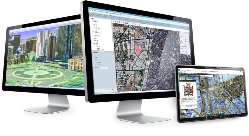
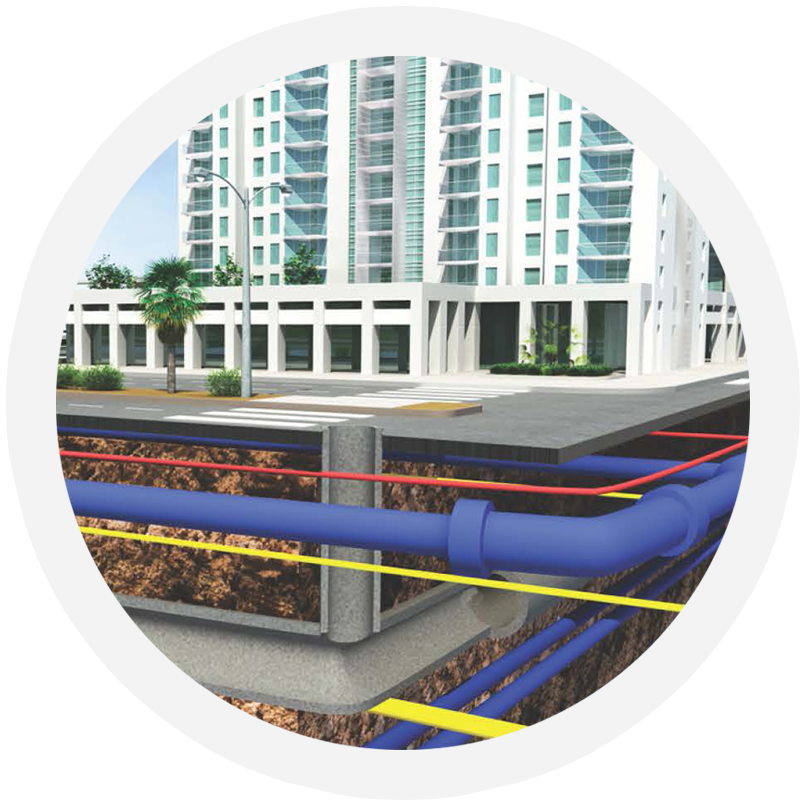
GeoERP is the first GIS-ERP integrated solution for management of Lands, Properties, Roads and Underground Infrastructures. The system offers a unique navigation system, allowing quick access to the various data items from all other data items (Lands, Owners, Titled documents, Roads, Contracts, Contractors, etc.), linking each system item to other relevant items. GeoERP also includes a powerful integrated GIS environment; each main spatial data (Land, Road, Pipe) is located on the regional map and linked to its data.


3D-GIS in The Cloud
3D-GIS is a cloud based web application that provides 3D views and analysis tools of spatial information in 3D focusing on GIS for 3D cities, infrastructure and cadastre. 3D city planning GIS in 3D enable users to view and analyze its data in detail and precision that cannot be achieved in 2D. It enabled real world view that improve user orientation and increase ability to perform tasks and manage city planning, infrastructures and cadastral data.

CivilCAD 10 Better Visualization Carry Better Results
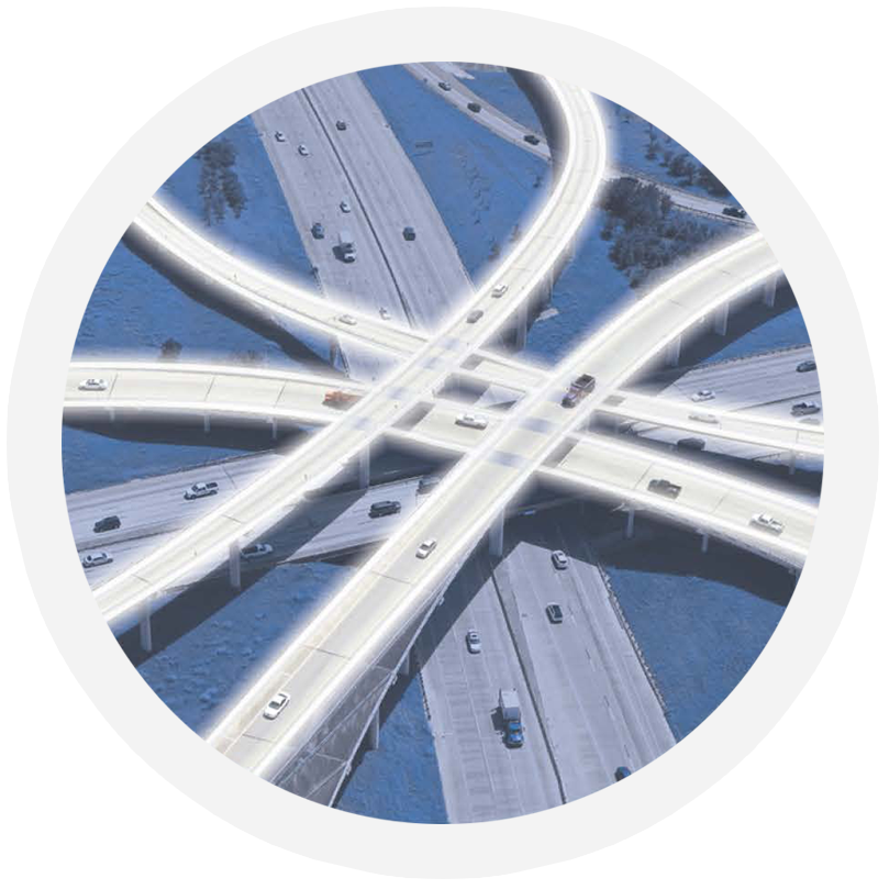
CivilCAD 10 Solution Suite, the ultimate plan and design tools for civil engineering professionals, offers roads planning and design, upper and underground infrastructure design and pipes layout tools, intelligent and sensible earthworks calculations, and cross platforms surveying data handling capabilities.
Offering limitless design possibilities, fully integrated system tools, high-speed results and unsurpassed user-friendly task based environment, CivilCAD 10 brings the new generation in civil engineering to a new and unprecedented level of competence and cost-effectiveness.
