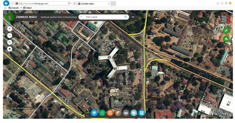
Link to the website: www.map.gov.zm
Sivan Design recently launched NSDI (National Spatial Data Infrastructure) website for use by the general public of Zambia.
In 2015 Sivan Design awarded a contract with Zambia Ministry of Lands and Natural Resources for ZNSDI (Zambia National Spatial Data Infrastructure) & Mapping of the nation in various scales. After 2 years of comprehensive work, the NSDI web site was successfully launched.
The Objective of the NSDI is to share spatial Information between Ministries, Public and Private Agencies and the General Public. The use of the NSDI can save Data Capture costs, allow for the enhancement of policy making, deliver transparency and provide tools that can engage the public in Government actions and activities.
ZNSDI Project
ZNSDI is a national large-scale project that combines mapping of the entire Zambia Nation and the development of a National Spatial Data Infrastructure system, with a national geo-portal component centralizing geo-information from various governmental offices.
