Sivan Design provides a holistic solution for national scale land projects, which integrates data collection with development of Land Information System. Our solution guarantees issuance of titles for the entire landowners and householders, contributes to socio-economic development for the benefit of the people, increases land revenues for government and creates a computerized, sustainable, and accessible national land repository.

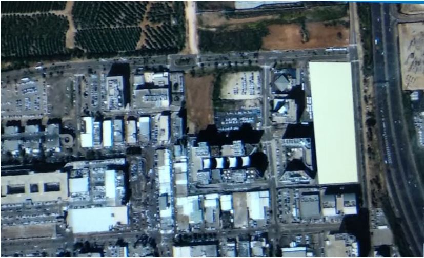
Example of a demarcation of a plot
Our service includes the following:
- Ensures that all occupied and/or utilized pieces of land on State and Customary land are titled to guarantee security of tenure, including householders on common tenancy.
- Demarcation of the entire country (inhabitant and nonresident land).
- Creation of a computerized, sustainable, and accessible national land depository.
- Generation of massive land related revenues for the government.
- Create the foundation, database, mechanism, and methodology for long-term effective land related revenues collection.
The above mentioned promotes good governance and transparency in land administration and management, prevents displacement of local communities by the urban elite or foreign investors in rural areas, eradicates inequalities among interested groups in gaining access to land and assists in regularize unplanned/informal settlements.
Our Advantage
Sivan Design has been engaged for over 20 years in national land projects. Our company is highly experienced in providing solutions for land administration, development and implementation of policies and procedures for data management, capacity building, change management, rising public awareness and more.
In addition to our expertise in providing land matters, Sivan Design is one of the leading companies world-wide in automation of land management processes. Our solution enables automation of Demarcation, Adjudication and land management using Field-to-Office, AMSP and GeoERP/LAPS.
Field to Office
Land Ownership Field data collection focusing on the Demarcation process, which includes parcels boundaries identification.
An automated Field-to-Office process is where field data is collected in digital format and automatically transferred to the main database for back-office usage. To support collection of parcels boundaries and Claimants (Owners) information, surveyors who collect parcels data uses SLR Collector with software that uses GIS technology that developed to support the process.
The field to office allowing field users (surveyors and Adjudication committees) to share and exchange data on-line.
AMSP
Adjudication Management Support System – a database/system created for large scale recording of ownership claims data and high volume lease production.
The Adjudication Management Support System focusing on the Adjudication process, where Claimants are registered and disputes are resolved. Adjudication committees that register claimants’ information uses a tablet with a dedicated application to manage the dispute. The dispute may be opened during the demarcation, by the surveyor, or after it. Claimant’s information, whether captured by a surveyor or adjudication committee, will be stored in pre-designed digital form and with direct association to the relevant parcel.
AMSP includes forms and tables allowing Land committees and adjudication committees to record their activities such as:
- Record claims over land.
- Record list and nature of disputes.
- Record adjudication decisions/resolutions – dates, reasons, supporting documents and nature of decisions/resolutions.
GeoERP/LAPS
Sivan Design’s unique technology for LIS (Land Information System)/Cadastral GIS, based on SQL Server Database.
Click here for more information
